 Walker's Hill & Adam's Grave (Tim Lewis)


Route summary
The route is 48.8miles (78.2km) and links with the Cranborne Droves Way and the Ridgeway at Salisbury and the Ridgeway at Overton Hill/A4.
The route directions below are written for walkers. The route is not suitable for riders.
The walkers page has a link to a map of the route.
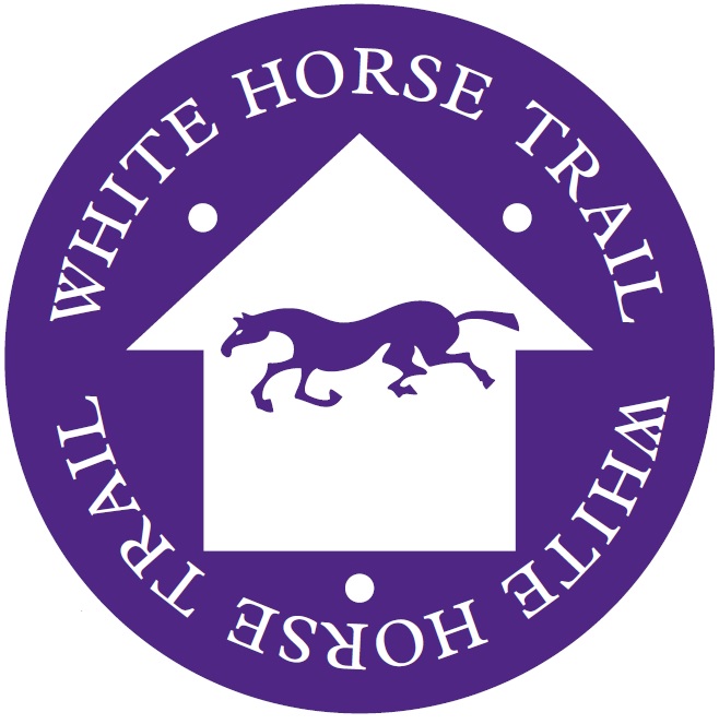
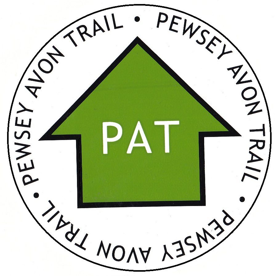
The route is not waymarked but it follows the Pewsey Avon Trail as far as Manningford Abbots, then the White Horse Trail as far as Knap Hill, both of which are waymarked. GPX/KML files can be downloaded from the walking route using the links on the right of the hiking site.
Route Directions
North to South – from Coate Water Country Park, Swindon to Salisbury
- Coate Water Country Park, Swindon to Barbury Castle, 7.4 miles (11.8km)
- Barbury Castle to Overton Hill/A4, 6.6 miles (10.4km)
- Overton Hill/A4 to Upavon, 10.9 miles (17.4 km)
- Upavon to Enford, 4.8 miles (7.7 km)
- Enford to Figheldean, 4.3 miles (6.9 km)
- Figheldean to Amesbury, 4.5 miles (7.2 km)
- Amesbury to Old Sarum, 7 miles (11.2 km)
- Old Sarum to Salisbury, 3 miles (4.8 km)
South to North – from Salisbury to Coate Water Country Park, Swindon
- Salisbury to Old Sarum, 3 miles (4.8 km)
- Old Sarum to Amesbury, 7 miles (11.2 km)
- Amesbury to Figheldean, 4.5 miles (7.2 km)
- Figheldean to Enford, 4.3 miles (6.9 km)
- Enford to Upavon, 4.8 miles (7.7 km)
- Upavon to Overton Hill/A4, 10.9 miles (17.4 km)
- Overton Hill/A4 to Barbury Castle, 6.6 miles (10.4km)
- Barbury Castle to Coate Water Country Park, Swindon, 7.4 miles (11.8km)
Guidebook
Cirerone have published a guidebook of the Sarsen Way & Cranborne Droves Way from Coate Water Park to Salisbury and the Cranborne Droves Way (28km) connecting Salisbury to Wessex Ridgeway at Win Green. These long-distance paths are part of the Great Chalk Way. Suggested 2-8 day itineraries, OS maps, accommodation options, and reverse route descriptions are included. You can find more details here.
Contact
If you have questions or comments on the route. Then please contact Tim Lewis the promoter of the Sarsen Way route email Sarsen@GreatChalkWay.org.uk